
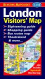
Visitors' London Map & Guide (out of print)

OUT OF PRINT
Edition: 5 (2011)
Size: 115 x 201 mm
Size unfolded: 955 x 590 mm
Scale: 1:11,800 (approx.)
ISBN: 978-1898929-338
Price: £2.95
This publication is an ideal companion for tourists wishing to explore London on foot.
It features twelve sightseeing walking intineraries which are all clearly marked on the map and explained in concise, informative guide texts. Each described place of interest is individually numbered and grid referenced so the user can easily locate them.
Users can follow the intineraries in whole, in part or alternatively create their own walks by linking part of one with part of another.
Visitors' London Map & Guide offers our exceptionally clear mapping and a wealth of sightseeing information in a compact and user-friendly format at a great value price.
Click on the publication preview images below to enlarge

Contents
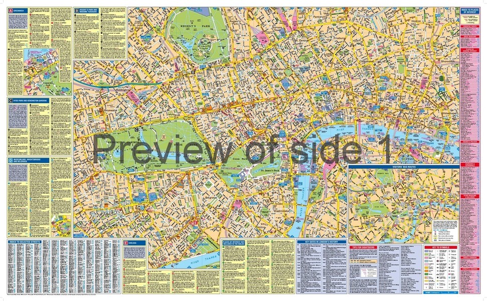
Side 1
- main map extends from Notting Hill Gate to Tower of London and King's Cross to Chelsea
- five walking itineraries with guide texts*
- index to places of interest with star ratings classification
- index to selected streets
- bus routes map for central London
Side 2
- large-scale map insert for even greater clarity
- seven sightseers' walking itineraries with guide texts*
- mini guide to shopping
- index to theatres and cinemas
- index to hotels
- Underground map for central London
*Walking itineraries included
- Greenwich
- Regent's Park and Madame Tussauds
- Hyde Park and Kensington Gardens
- Museumland, Knightsbridge and Belgravia
- Chelsea
- Famous shopping streets
- Mayfair
- Whitehall, Westminster and St. James's
- From Piccadilly Circus to St. Paul's Cathedral
- British Museum, Holborn and Barbican
- St. Paul's Cathedral and the heart of the City
- River Thames